PHOTO GALLERY
BELL ISLAND SCENES
These photos were gathered by the Murals Project Committee about 1990-92 when they were seeking scenes of Bell Island to inspire the murals that were eventually painted on a number of buildings on Bell Island. In order to preserve the photographs for posterity, copies were made and deposited in the Archives and Special Collections (A&SC) Division of Memorial University Library. The photos on this page are from COLL-202, Accession No. 92-036.
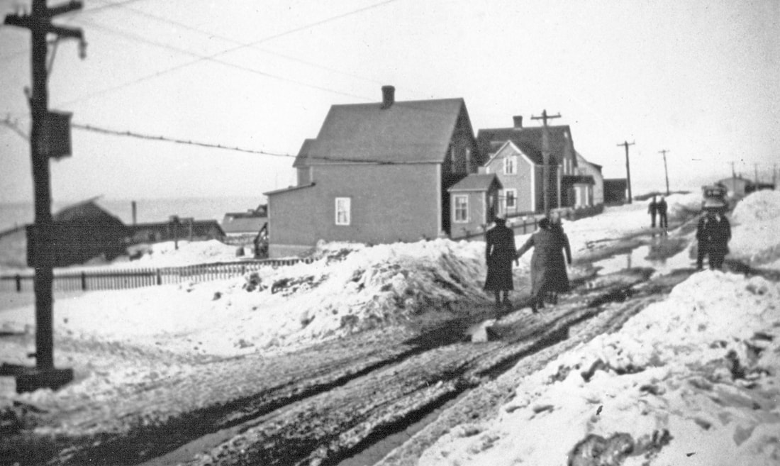
The photo below is of the north side of Bennett Street between Bown Street and Petrie's Hill. The stock pile of iron ore in No. 2 Mine Yard can be seen in the left background. The Bank of Nova Scotia was constructed on Bennett Street on the east corner of Petrie's Hill in the summer of 1939. It is not in this picture, so the photo was taken before that. The houses in the picture are Company-built staff family houses. The nearest house received a full 2-storey extension sometime after this photo was taken. It is still standing in 2021, as is the house immediately east of it.
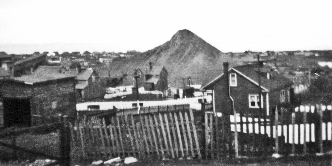
The photo below was taken from Bennett Street, a few doors east of the intersection with what was then the Dominion East Tramway, aka, East Track (now Steve Neary Blvd.), looking NW with The Green on the horizon. The "Slag Pile" in the center background is in No. 2 Mine Yard. The inclined building on the far left is part of No. 2 Mine infrastructure. No. 2 Submarine Mine was closed down in January 1950. Three of the one-ton ore cars that ran from No. 2 Mine to Dominion Pier can be seen in the center of the photo outlined against the white-washed picket fence, so the photo was taken sometime before 1950. (More pictures of this area can be viewed on this website on the "Bridges of Wabana" page at https://www.historic-wabana.com/bridges-of-wabana.html.)
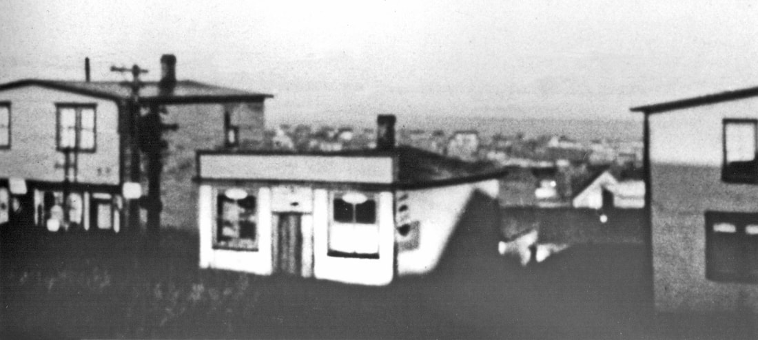
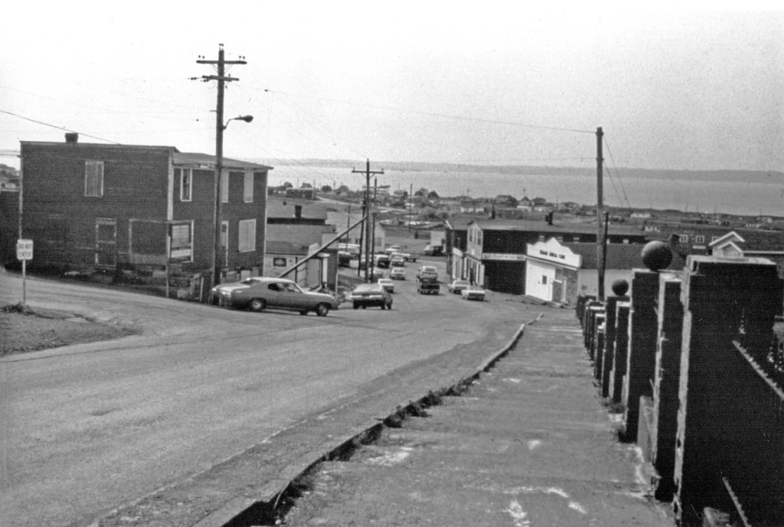
The photo below was taken from Bennett Street, a few doors west of the intersection with Main Street (Town Square), looking NW with The Green in the background. The 2-storey building on the left was Dunne's Store.
The c.1970s photo below of Town Square was taken from the top of the steps in front of the Roman Catholic Church property looking north down Town Square. On the left is the intersection with Bennett Street. The Green is in the background. The 2-storey building on the left was owned by the John Kennedy family and was known as Kennedy's Corner.
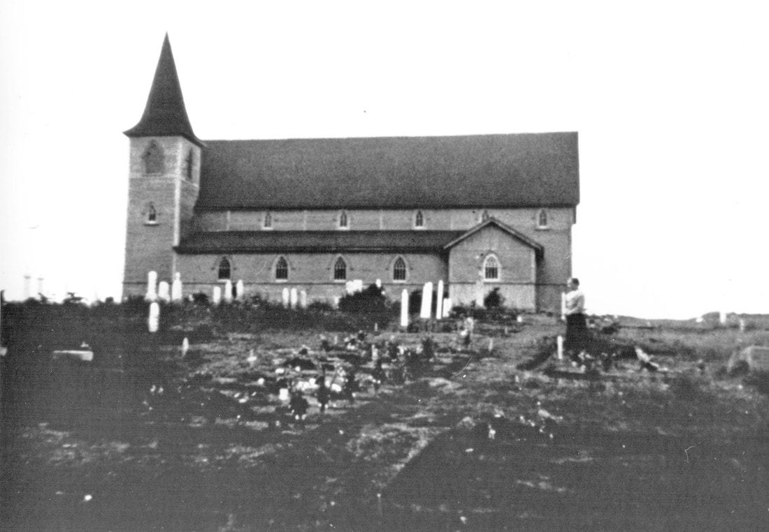
The photo below is of St. Boniface Anglican Church, which was built in 1906 at The Front near the top of Beach Hill. The cemetery in the picture is the present-day St. Boniface Cemetery. After St. Cyprian's Anglican Church near Town Square was consecrated in 1931, St. Boniface was used as a Mortuary Chapel.
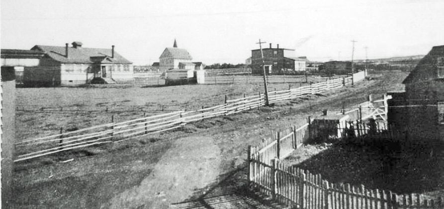
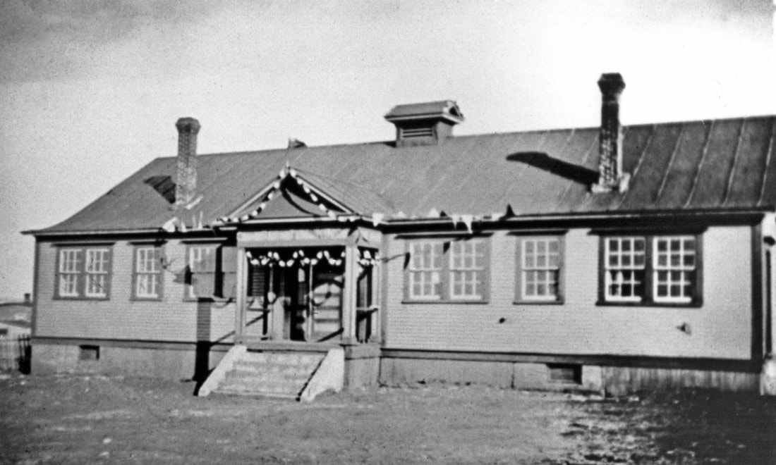
The photo below is of the Beach (Anglican) School in the left of the picture, with St. Boniface Anglican Church just left of center. The 2-storey house to the right of center was originally the Church Rectory; it was rebuilt as a residence for the Principal of the Beach School in 1939.
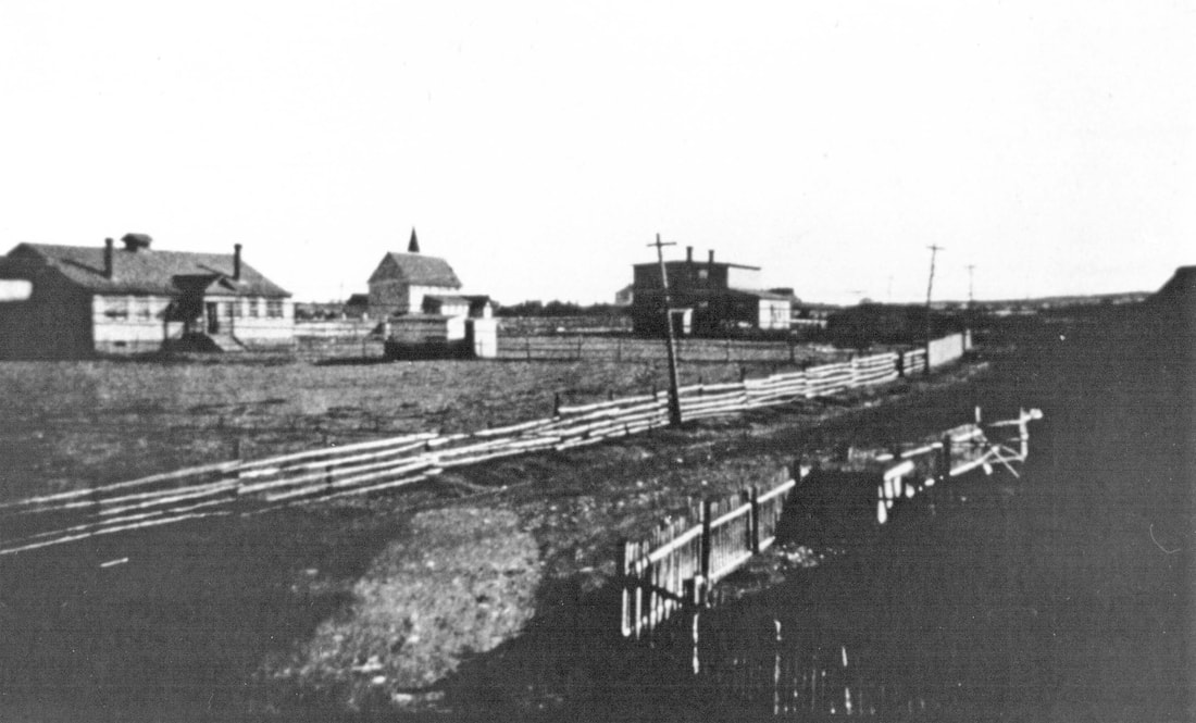
The photo above is from COLL-202, Acc. No. 92-036. The photo below is a lighter version originally posted on Facebook by Gerald Purcell; it is the same photograph showing more detail.
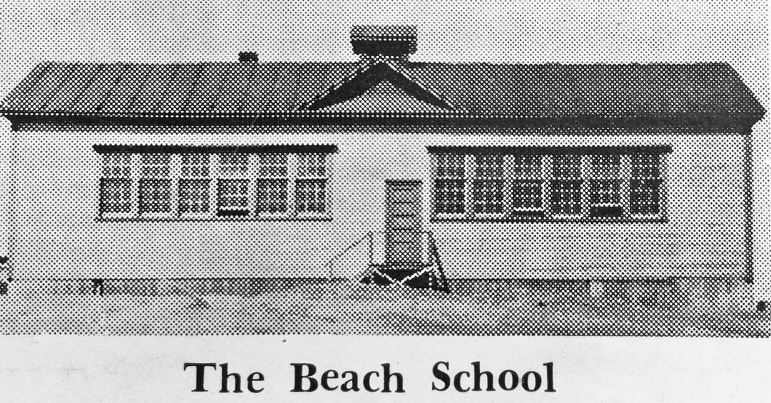
The photo below is a close-up of the Beach (Anglican) School. The original of this particular Beach School building was a two-room school constructed about 1921. (Perhaps the banner over the entrance was a celebration of that event?) This building replaced a much smaller 1911 building, which itself had replaced the school that had been attached to St. Boniface Church. In a 1957 report on the Anglican Schools of Bell Island in the N.T.A. Journal, Fred J. Newhook stated that "The new building, now known as the Beach school, consisted of two classrooms at first, but has since been enlarged to three." Another report says the school was completely renovated in 1939. A photo of the school in 1959 (see below) may be of the south side (back) of the school. That photo is from the cover of the 1959 Anglican schools yearbook, Focus.
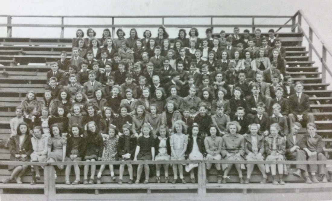
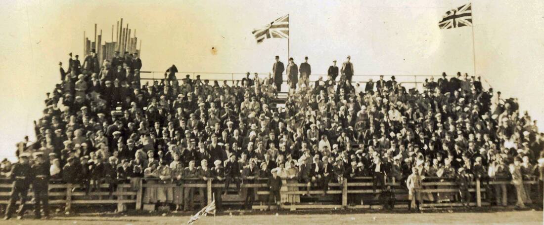
Below: Anglican School children in grandstand at Sports Field.
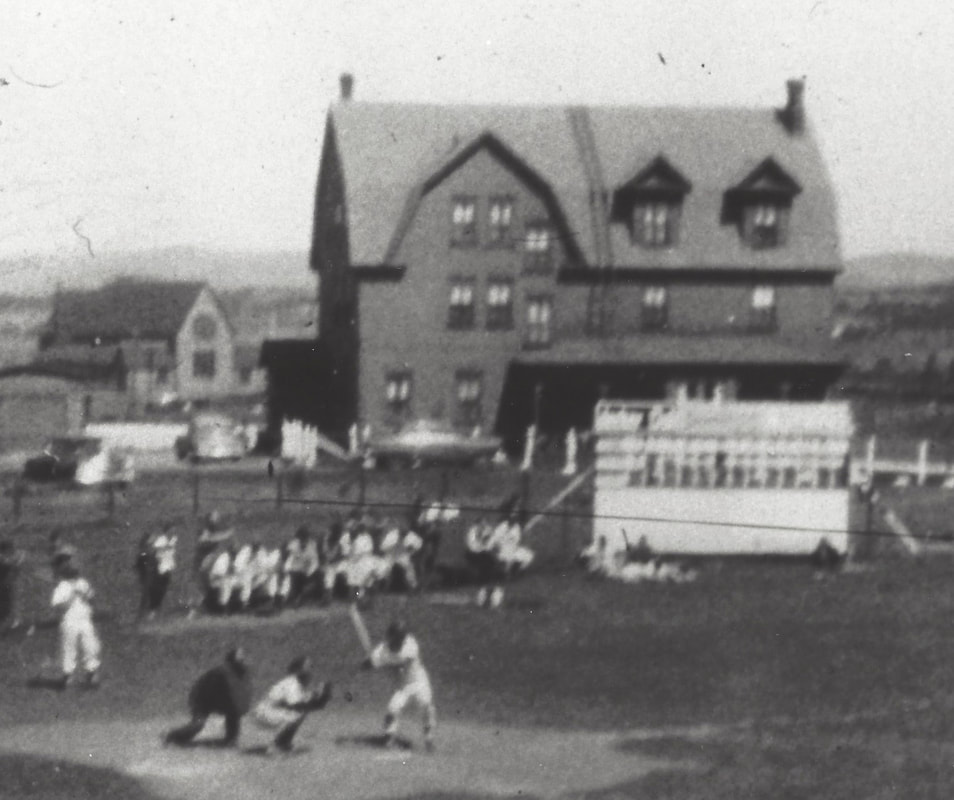
The photo below is of a ball game on the Sports Field c.1955. The large building was the mining company's staff boarding house, that was destroyed by fire on the night of May 20, 1956. St. Cyprian's Anglican Church can be seen immediately left (to the east) of the staff house.
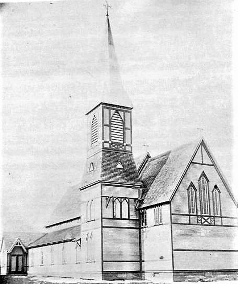
St. Cyprian's Anglican Church with Steeple, Main Street side looking West.
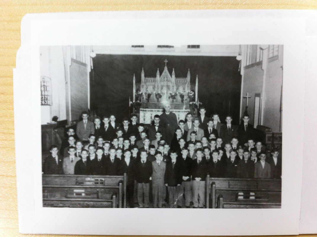
Boys in St. Cyprian's Church with Rev. Legge(?), early 1950s.
Church Lads Brigade (CLB) in grounds of St. Cyprian's Church on Main Street. Fleming house in left background. Walter Squire residence and shop in right background, 1950s.
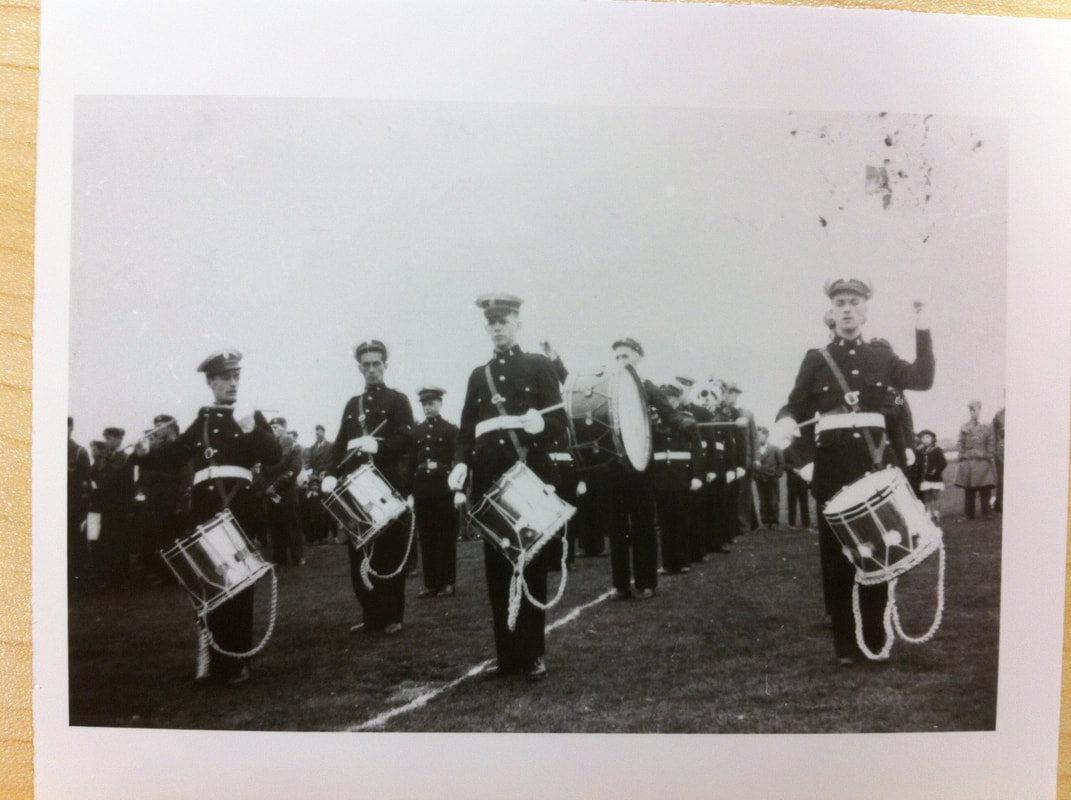
CLB marching, 1950s.
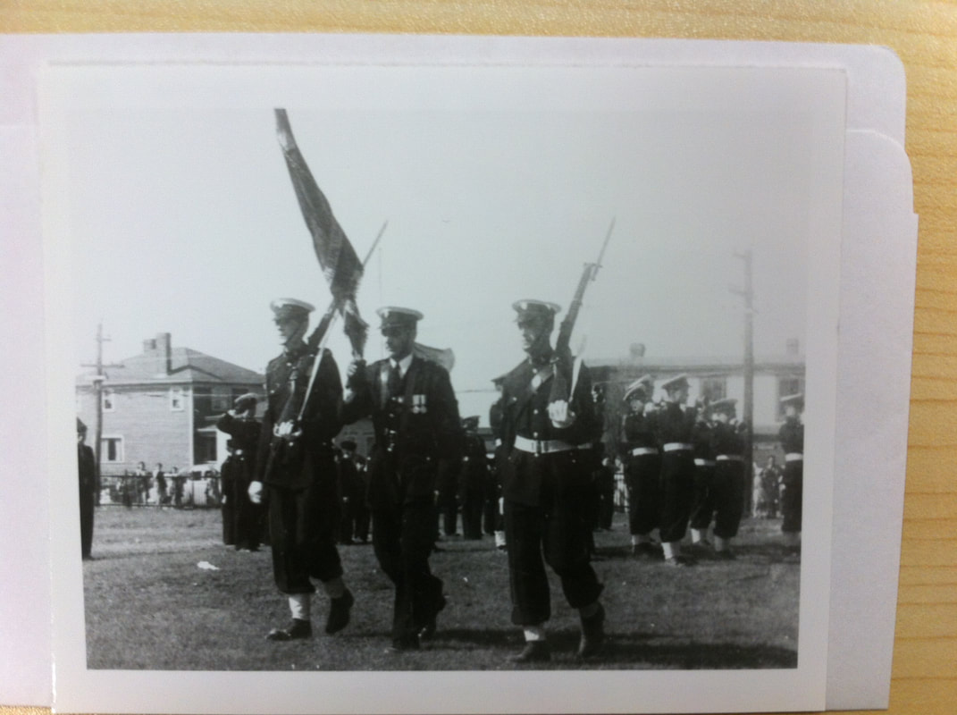
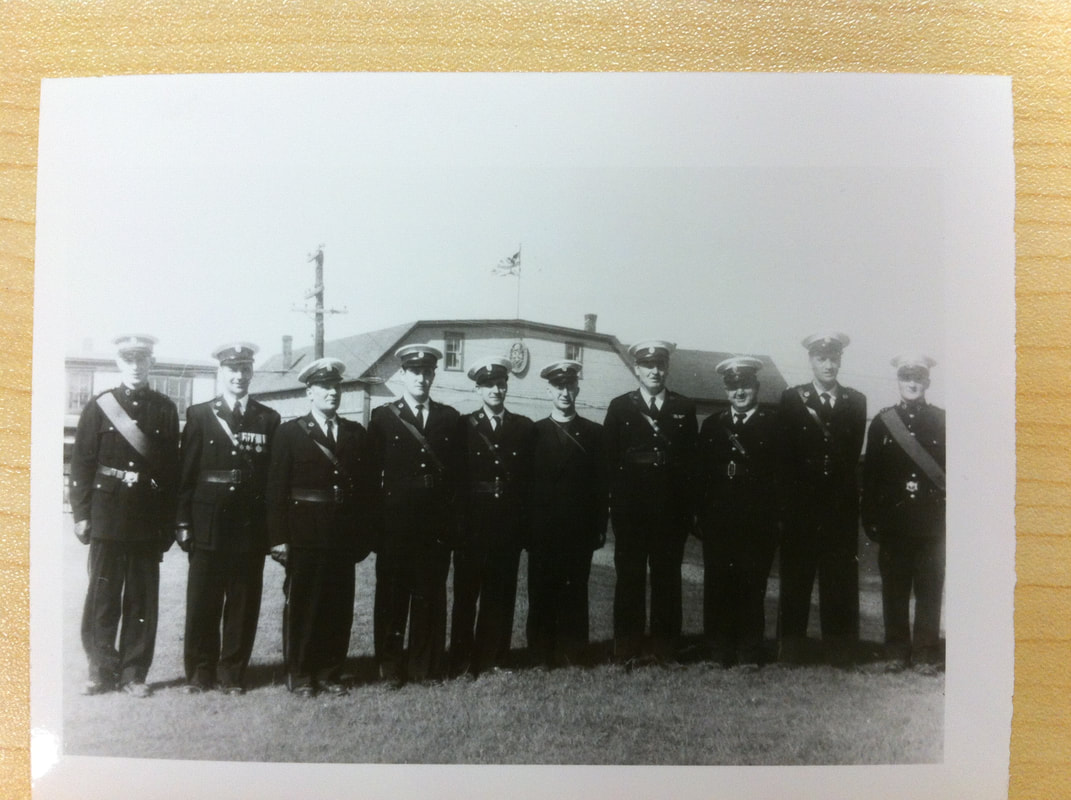
CLB officers on St. Cyprian's Church grounds. CLB Armoury in background across Main Street. No. 6 is Rev. T. Smith(?). c. late 1950s.
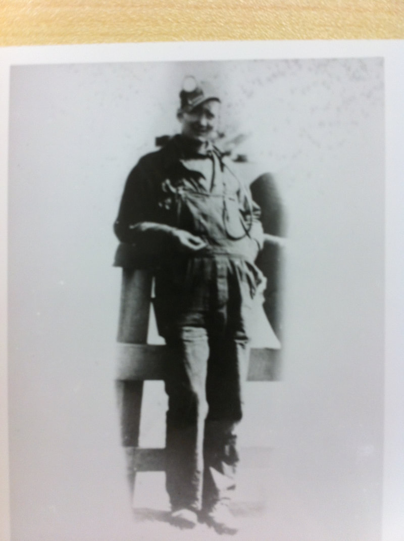
A Wabana miner, c.1950s.
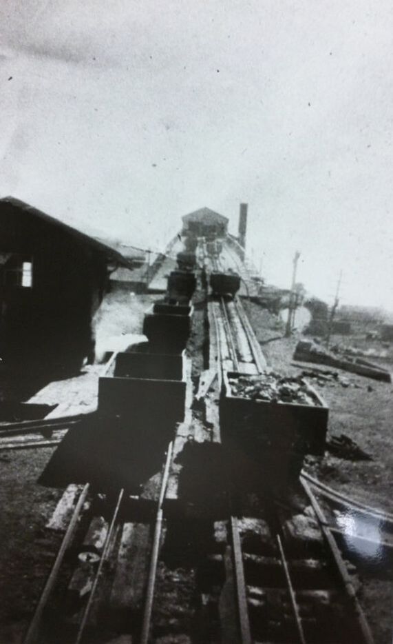
No. 3 (?) Deckhead.
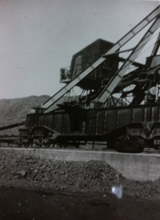
Ore stockpile and steam loader.
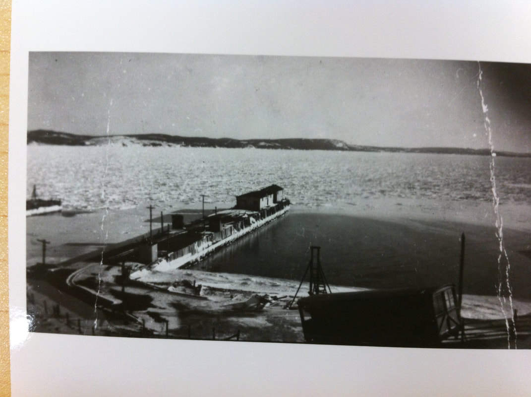
The Bell Island Transportation Company Wharf, with Tramcar in foreground. Arctic ice in Tickle. (The Tramway ceased operations in 1948.)
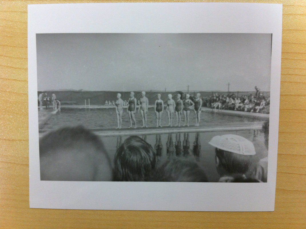
The Kiwanis Swimming Pool, c. late 1950s.
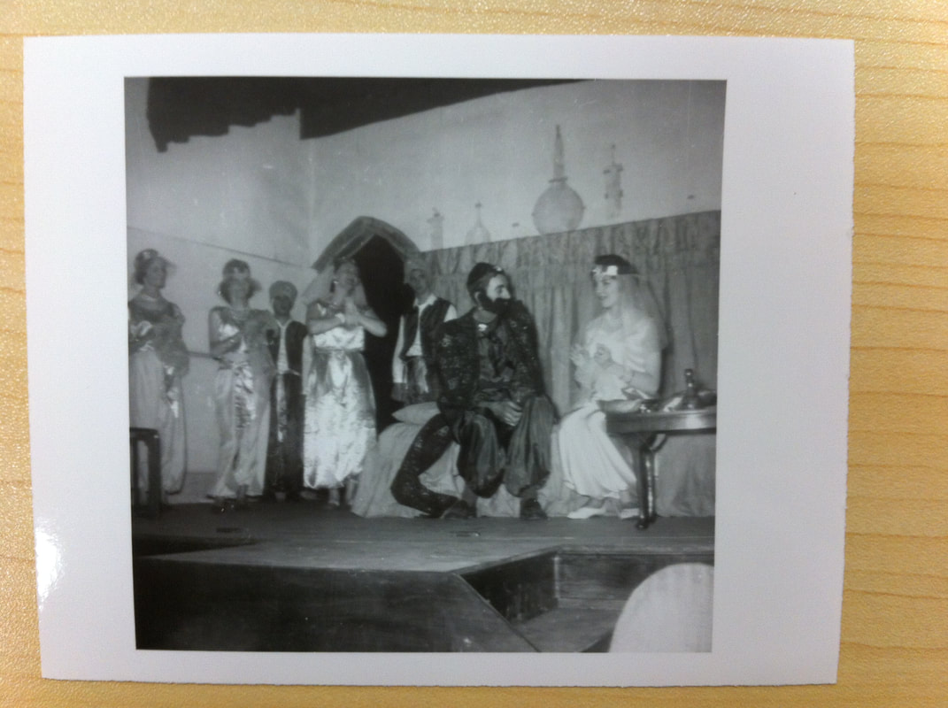
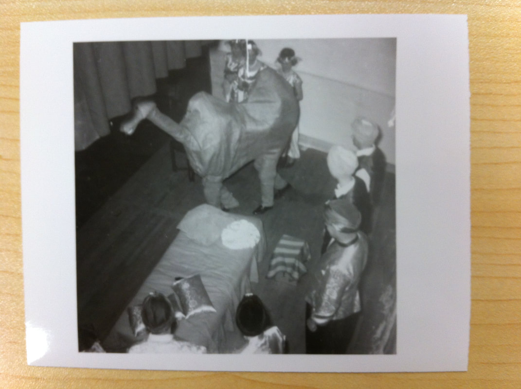
The Wabana Little Theatre presented their production of "Aladdin and the Wonderful Lamp" in St. Pat's Theatre on the nights of January 18, 19 and 20th, 1962 at 8:00 p.m. A special matinee was held at 3:00 on Saturday, January 20th. Lloyd Bennett, who worked in DOSCO's Sign Department, was Stage Director and Set Designer.
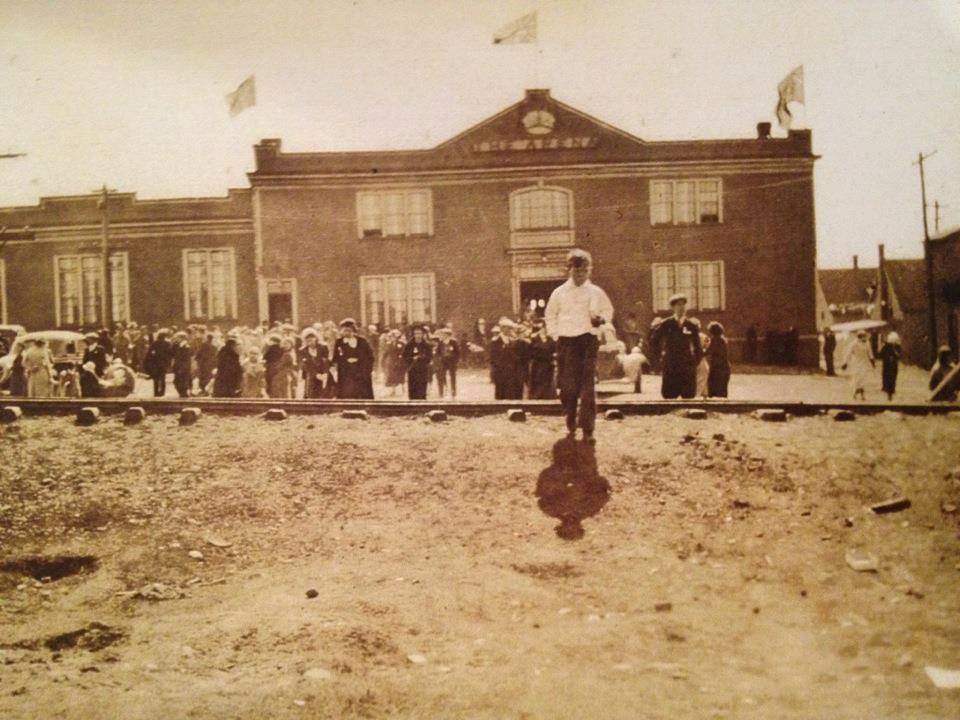
The Arena with ore-car track in front of it. [What was the purpose of this ore-car track?] 3 flags are flying and well-dressed crowd of people gathered in front, so it seems to be a special occasion. The Company houses on the right are on Wall Street, next to No. 3 Mine Yard.