HISTORY
MINING HISTORY
COMMUTING MINERS
MINING HISTORY
COMMUTING MINERS
THE MINERS PATH,
TOPSAIL TO ST. PHILIP'S
by Gail Hussey-Weir
Created September 2, 2022
TOPSAIL TO ST. PHILIP'S
by Gail Hussey-Weir
Created September 2, 2022
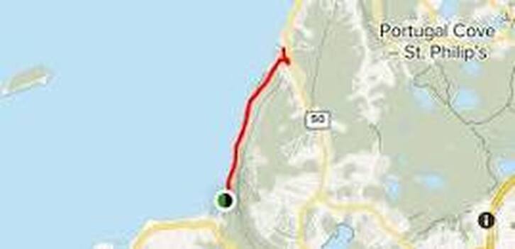
"The Miners Path" is what locals called the trail along the shoreline between Topsail Beach and St. Philip's. From the early 1900s to at least the 1940s, it was not uncommon on a Sunday evening to see 50 to 60 men walking into the woods at Topsail Beach to return to the Bell Island mines after a weekend at home. Many of them carried white flour sacks filled with clean clothes and freshly-baked bread. The men got off the train at Mile 13 Station (Topsail) at the top of Monument Road, walked down the hill to the beach and then to Horse Cove and St. Philip's (or Portugal Cove) where they would hitch a ride across the Tickle to Bell Island. The trail from Topsail to Portugal Cove is over 17 km.
They walked the shoreline because it was shorter by half than walking across St. Thomas Line. They did not go into St. John's on the train because it was more difficult to get from St. John's to Portugal Cove in those times, especially as they had very little money.
The history of this path/trail goes back much further than the beginning of mining on Bell Island in 1895. Before roads were built in the 1800s, there were paths along the shoreline joining the small communities from Portugal Cove to Topsail and beyond. Not surprisingly, they were called the "(a)long shore path" with the "a" being silent. The path was along the shoreline because that is where the communities were. It was the shortest and simplest way to get back and forth and you had no chance of getting lost. People from St. Philip's would walk to Topsail to attend church and other gatherings as the trail was pretty level with no hills.
Sources: Jim and Mike Laurie via Fred Greening, May 2012; https://livelocalpcsp.ca (accessed Sept. 2, 2022)
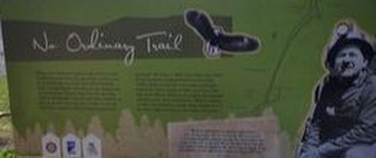
Apologies for the blurry photos. They will have to do until I can get some of better quality. The one at the top of the page is the sign for the trail at Topsail Beach. The miner featured on the sign is Eric Luffman (1905-1993).

